 Polski
 Cesky
Cesky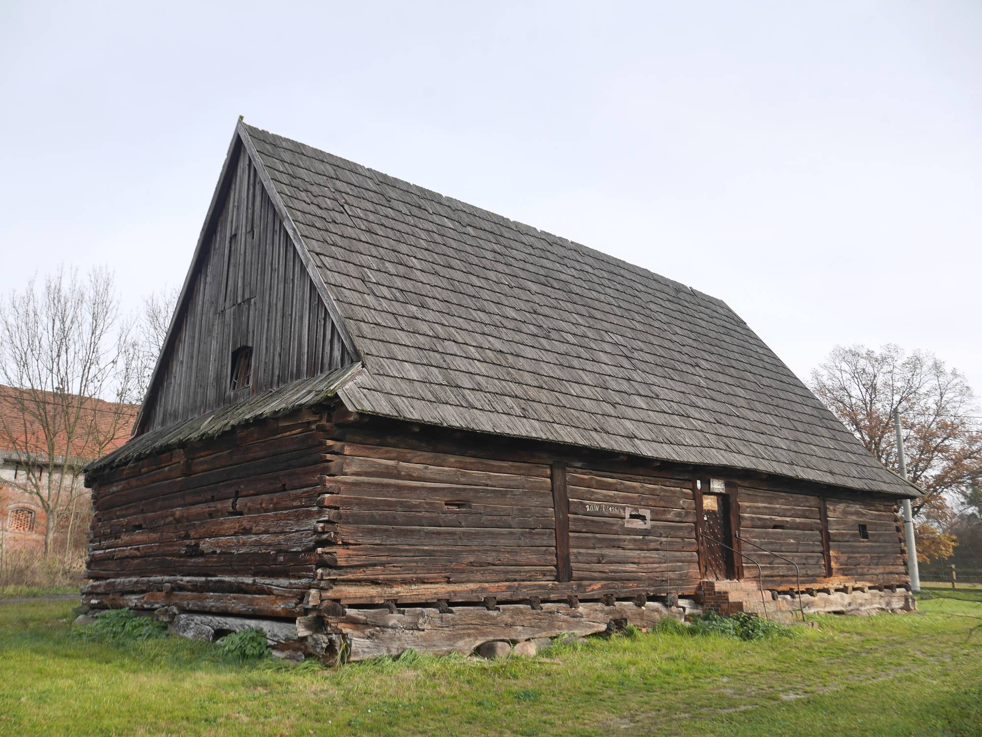

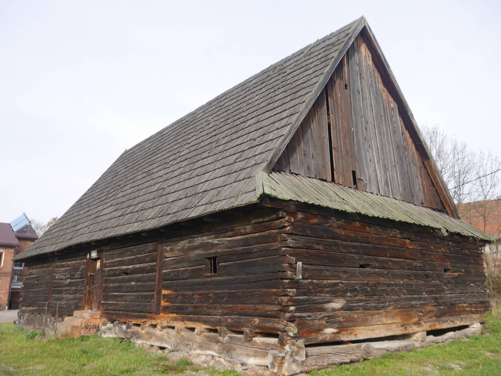
The Większyce Palaceis a Neo-Gothic palace from 1871, formerly the property of Max Heimann – a representative of a wealthy family from Wrocław. The cream-brick edifice, surrounded by a park with magnolias, tulip trees, and ginkgo trees, is distinguished by a large number of architectural ornaments, such as turrets, bay windows, or pinnacles. In the 1930s, the owner of the facility became Emil Phyrkosch, an entrepreneur from Racibórz, who gradually parceled out the land and sold off the ground. He donated part of the estate to the treasury of the German nation for social purposes – a kindergarten was opened in the palace shortly before World War II.
During World War II, a field hospital officially operated in the palace, however, according to urban legend, in reality, a war radio station operated in the palace under conspiratorial conditions, whose location in a hospital building was meant to avoid detection by Allied aviation. Currently, a restaurant located on the culinary trail of the Opole region – "Opolskij bifyj" – operates in the palace. Inside, one can see, among other things, a representative coat of arms hall with coats of arms of Silesian cities and Silesian Piasts, decorated wooden ceilings, and a staircase with cosmic motifs and a heavenly dome.
Legend has it that one of the halls of the Większyce Palace was supposed to have a floor lined with gold coins. As the image of the emperor appeared on them, the owner of the facility had to obtain permission for such a solution. Heymann was supposedly to receive it, but on the condition that the coins would be placed vertically, not horizontally – to protect the image of the emperor from being trampled. The owner, however, did not agree to such a solution and abandoned the idea.
Practical information:
The restaurant is open daily from 12:00 PM to 9:00 PM.
Parking spaces by the restaurant.

